
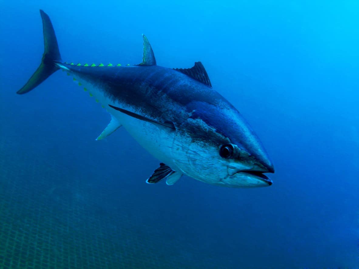
Ask a group of weekend anglers what they think about bag limits and you will get very different reactions. Some see them as a nuisance, a number pinned to the back of a rulebook that just gets in the way of a good day on the water. Others see them as the reason their favourite spot still has fish in it ten years on. That second view is the one that holds up. Western Australia has just shown why, off its own coast.
What a Bag Limit Actually Is (And Why Size Limits Matter Too)
A bag limit is the maximum number of a given species you are allowed to catch and keep in a set period, usually a 24 hour day. Alongside it you will usually find a possession limit, which caps how many you can have on hand at any one time, including whatever is already in the fridge or freezer at home, and a size limit, which protects fish that have not yet had the chance to breed. Together these three tools do most of the heavy lifting in recreational fisheries management.
Fisheries scientists study how fast a species matures, how it reproduces, and how much fishing pressure it is already under, then work out roughly how much can be taken without the population sliding backwards. The aim is to leave enough breeding fish in the water that the stock can replace what gets taken out. Without a bag limit, the person who gets out earliest, fishes hardest, or has the best boat could scoop up a disproportionate share of a shared public resource. A limit keeps the fishery something everyone gets a reasonable crack at, rather than a race to the bottom.
Possession limits do a slightly different job. By capping how many fish someone can have stored at once, they make it much harder to use recreational fishing as a backdoor way of accumulating commercial quantities of fish for sale. That loophole can undo a bag limit without anyone noticing.
The WA Demersal Fishing Ban: What Happens When a Bag Limit Isn't Enough
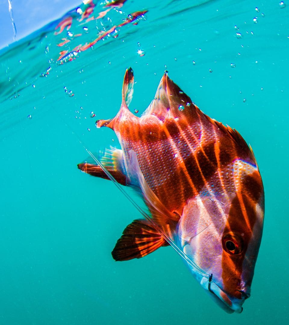
For most of the last few decades, the way fisheries managers dealt with a struggling stock was to tighten the bag limit a little, nudge the minimum size up, and hope the numbers recovered. Western Australia has just shown what happens when that approach stops being enough.
Why Dhufish and Pink Snapper Stocks Collapsed
WA dhufish, pink snapper and red emperor are demersal scalefish, meaning they live on or close to the seabed, usually around reefs and deeper offshore ground. They are also long lived and slow growing. Dhufish can live for decades and does not exist anywhere else in the world. Bag limits struggle with species like this once fishing pressure builds up over enough years, because a population that takes twenty or thirty years to replace a breeding adult cannot keep up with sustained heavy catches the way a fast growing species can.
That is what happened here. Repeated stock assessments over the years kept showing these species were still under serious pressure despite one round of tighter rules after another, and in some areas breeding stock levels had fallen to under fifteen per cent of what is considered a healthy population. At that point, adjusting the bag limit again was no longer going to be enough to turn things around.
What the Demersal Fishing Ban Actually Changed
So in December 2025, the WA Government did something far more drastic than lowering a number. Boat based recreational fishing for demersal scalefish was closed entirely across the West Coast Bioregion, the stretch of coastline from Kalbarri down to Augusta that takes in Perth and covers by far the most heavily fished part of the state. Commercial demersal trawling in the same region was banned permanently from January 2026, backed by a compulsory buyback of commercial licences. The recreational closure is expected to run for around 21 months, with a return to fishing not expected before spring 2027, and even then only once stock assessments show real signs of recovery. When the fishery does reopen, the plan is for it to become an exclusive recreational zone with no commercial demersal fishing at all, alongside revised bag limits and real time catch reporting so managers can see what is actually being taken out of the water as it happens, rather than finding out years later in the next stock assessment.
That was not an easy call. It cost commercial operators their livelihoods overnight, and it has meant thousands of recreational anglers can no longer fish for the species Perth built its fishing culture around. The WA Government backed the change with close to thirty million dollars in support, including rebates for tackle shops to help shift fishers toward species that are not under the same pressure. A dedicated advisory committee, with recreational fishing representatives at the table alongside scientists, is now working through exactly what the rules should look like once the fishery reopens, including new bag limits, protected spawning closures, and possible sanctuary zones.
The closure does not touch everything. Shore based fishing for these same species is still allowed in most of the region, under the normal bag and size limits, because the fishing pressure from land is a fraction of what comes from boats able to reach the deeper reef country where these fish live. Managers are targeting the activity that is actually driving the decline, not demersal fishing as a whole.
Why Sustainable Fishing Limits Actually Help Recreational Anglers
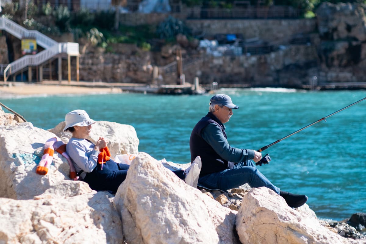
That is easy to forget when you are standing on a jetty wishing the limit was one fish higher, or in this case, wishing you could still get out on the boat at all. This is about keeping recreational fishing as something you can keep doing, in the same spot, for years, and ideally handing your kids a fishery that still has dhufish in it rather than a story about the one that used to be there.
A well managed local fishery tends to produce more consistent catches, bigger average fish, and fewer disappointing sessions where you cannot find anything worth keeping. That is the bet WA is making with its demersal stocks now: years of short term pain in exchange for a fishery that can sustain itself long term, rather than being managed one incremental bag limit cut at a time until there is nothing left to protect. Other fisheries have shown the same pattern. Chile's jack mackerel fishery saw catches climb sharply once it was brought back within sustainable limits after a period of decline.
Size limits do a related job. By protecting fish before they have had the chance to spawn at least once, they help make sure each generation gets to replace itself before anyone takes it home. A fish caught just under the legal minimum today is a fish, and often several future fish, that never happened. For a species like dhufish, which can take years to reach breeding age, that difference compounds over decades. That is a large part of why WA ended up needing a full closure rather than another round of minor adjustments.
Fish Stocks Vary by State: Check Before You Head Out
The trickiest part for recreational anglers, especially anyone who fishes across state or territory lines, is that limits are not consistent. Australia has eight separate fisheries agencies, each setting its own bag limits, size limits, and seasonal closures, and the rules for the same species can differ noticeably between neighbouring states, let alone between WA's own bioregions. The West Coast closure does not apply in WA's South Coast, Gascoyne, Pilbara or Kimberley regions, where boat based demersal fishing continues under separate rules. Check the current rules for wherever you are fishing rather than assuming last trip's limits still apply. Agencies do update them, sometimes mid season.
Bag limits and closures are not perfect. Getting the numbers right depends on good data, which is not always available for every species in every region, and there is a real, immediate cost to fishing communities when the rules tighten, one that is being felt right now by charter operators and tackle shops across Perth. The alternative was letting a slow growing species like dhufish keep declining until there was nothing left to manage. The anglers who end up most frustrated by limits are often the ones who have not yet fished a stock that has had the chance to properly recover. Western Australia is now running the experiment to find out what that recovery looks like, and a lot of recreational fishers, even ones who are frustrated right now, are watching closely because they want it to work.
That is also why On The Fish does not show a generic national default. After you identify a fish, catch limits are matched to GPS from your photo, or a location you set, including national, state and local rules where they differ. They appear on upload and again on the catch detail page. For table fare, see our fish eating guide.